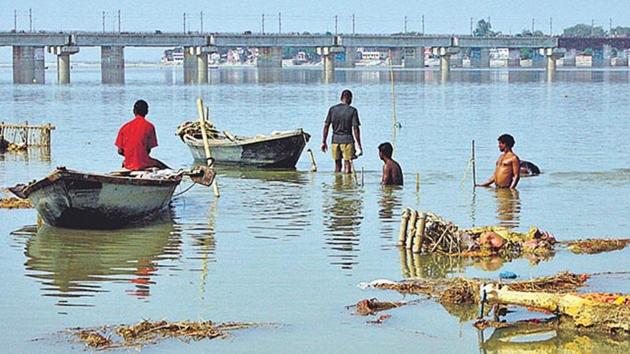
Govt plans hi-tech mapping of Ganga to identify pollution sources
Aerial photography and field surveys will be conducted as part of the project, which will be completed in 15 months.
The National Mission for Clean Ganga (NMCG) and Survey of India have decided to map the Ganga river using the geographic information system (GIS) to determine sources of pollution along its basin.

The maps prepared through this process will be used to monitor drains, condition of river fronts and pollution levels along the Ganga’s 2,525-km stretch from its origin at Gangotri to the Bay of Bengal. The mapping process will cover 10 km on either side of the river, and involve aerial photography (lidar imagery) as well as scientific assessment of its depth. Field surveys will also be conducted as part of the project, which will be completed in 15 months.
“In order to clean the river, we need to know where the pollution is coming from. It will be effective for monitoring the drains as well as river fronts,” said NMCG director general Rajiv Ranjan Mishra.
While the initial estimate of the project cost has been pegged at ₹86.84 crore, the agency aims to strengthen its planning and implementation at the national, state and local levels in the years to come. Officials involved in the project plan to use the digital elevation model technology, an important tool for river basin management planning, to ensure accurate data collection.
A government spokesperson said the use of GIS technology for the project will ensure decentralisation and transparency. “We can easily share the data collected and subsequent actions taken (by the authorities) with the public through geo portals and mobile apps,” he added.
It will also enable people to send feedback to the national level, thereby ensuring a platform that is interactive and transparent. “For effective discharge management, outlets for sewerage as well as other kinds of industrial, commercial or institutional discharges will be mapped as well,” the spokesperson said.
Additionally, the high-resolution GIS-enabled data will help regulate protected zones along the river banks. “The maps prepared by us can help the state government in planning infrastructural projects too,” said Mishra.
The GIS is a system designed to capture, store, analyse, manage and present spatial or geographic data.


