Centre launches Heli-borne survey tech for groundwater mapping in arid regions
Heli-borne geophysical mapping technique will provide high-resolution 3D image for sub-surface up to a depth of 500 meters below the ground level and map potential groundwater sources
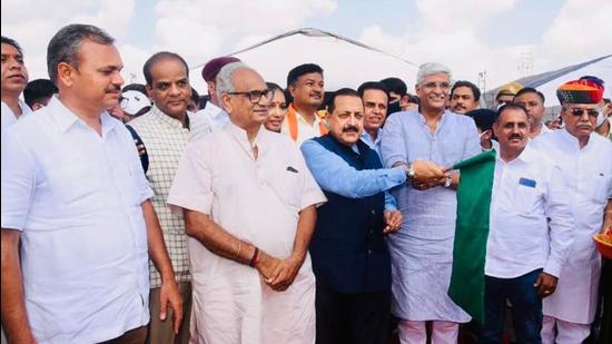
Union minister of state Jitendra Singh on Tuesday launched Heli-borne survey technology for groundwater management, developed by the Centre for Scientific and Industrial Research (CSIR) and the National Geophysical Research Institute (NGRI) Hyderabad, in Jodhpur.

Heli-borne geophysical mapping technique will provide high-resolution 3D image for sub-surface up to a depth of 500 meters below the ground level and map potential groundwater sources.
This latest technology is being employed by CSIR to map groundwater sources in arid regions and utilise groundwater for drinking purposes, he said. The Ministry of Jal Shakti has signed a Memorandum of Agreement with CSIR-NGRI for executing the project named High Resolution Aquifer Mapping & Management in Arid Regions of North Western India to target key water challenges in Rajasthan, Gujarat, Punjab and Haryana.
Jitendra Singh said that the water technologies of CSIR, from source finding to water treatment, will benefit millions of people across the country and will contribute to PM Modi’s “Har Ghar Nal Se Jal” (drinking water supply to every household) as well as “doubling farmers income” goals. He noted that the technological expertise of CSIR will be a great asset for the Jal Shakti ministry’s programs and that the association could help address key water challenges of the country.
Also Read: U’khand govt issues SOP for Char Dham yatra after court lifts limit on pilgrims
“This is a mega project of ₹150 crores to be implemented in two phases in collaboration with the Ministry of Jal Shakti as a part of National Aquifer Mapping Project. This project is expected to bring high visibility to CSIR in implementing the Government of India`s most ambitious project Jal Jeevan Mission,” the Ministry of Science & Technology said in a statement on Tuesday.
“Arid areas in north western India spread over parts of Rajasthan, Gujarat, Haryana and Punjab, covering nearly 12% of the total geographical area of the country and are home to more than 80 million people,” Singh said. With an annual rainfall in the range of less than 100 to 400 mm, these areas face acute shortage of water throughout the year.


