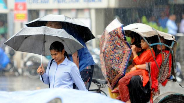
After a brief lull, monsoon likely to advance faster from June 23
Since June 1, the country has received five per cent more rainfall than its normal limit.
After a brief lull, the monsoon is expected to pick up pace later this week and likely to intensify its advancement in central and north India, the weatherman said on Tuesday.

India Meteorological Department (IMD) director general KJ Ramesh said on the western side, the monsoon is hovering around Valsad in south Gujarat and Bengal on the eastern side.
“There has been a lull, but we are expecting it to pick up rapidly from June 23 and subsequent five days,” he said.
The monsoon has covered almost the entire central Maharashtra and Vidarbha, a little portion of Madhya Pradesh, south Chattisgarh on the western side, Ramesh said.
On eastern side, he said, it has covered Bengal, parts of Odisha and parts of Jharkhand.
A western disturbance is also bringing rains to Delhi, Punjab and Haryana.
“Favourable conditions are developing for further advance of southwest monsoon into some more parts of Chhattisgarh, Vidarbha, remaining parts of Odisha, Jharkhand, Bihar, some parts of east Madhya Pradesh and east Uttar Pradesh during next 2-3 days,” the IMD said.
Rainfall distribution has till now largely remain fairly good across the country. Since June 1, the country has received five per cent more rainfall than its normal limit.
The southern peninsula received 17 per cent more rainfall than normal, five per cent in central India and nine per cent in northwest India.
Only the east and the northeast India has received three per cent less rainfall than the normal limit. PTI PR SMJ


