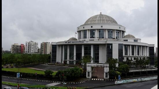
Navi Mumbai properties in 8 wards to be geo-tagged using LIDAR technology
Over three lakh properties in eight wards in Navi Mumbai are being geo-tagged using a drone and Light Detection and Ranging technology; while around 47% of the survey has been completed out of the total 109.59sqkm area to be surveyed, the remaining area has not been surveyed as the drones and vehicular survey is not permitted from the security point of view
Over three lakh properties in eight wards in Navi Mumbai are being geo-tagged using a drone and Light Detection and Ranging (LIDAR) technology.

While around 47% of the survey has been completed out of the total 109.59sqkm area to be surveyed, the remaining area has not been surveyed as the drones and vehicular survey is not permitted from the security point of view. The surveyors will commence mapping these areas manually.
With this survey, the Navi Mumbai Municipal Corporation (NMMC) should soon be in possession of detailed data about not only the actual number of properties in its jurisdiction but also about the status of its existing infrastructure.
“Apart from the areas where drones are not permitted, there are the village and rural belts wherein surveying can only be done manually. This is a huge challenge,” said Shirish Aradhwad, additional city engineer.
For manual mapping, a specially-designed backpack equipped with scanners and cameras are being used. “The equipment which was used for vehicle-based surveys is now strapped upon as a backpack. A team is manually going to these remote places and getting the required data. This is the last phase of the survey and it is expected to be completed by mid-July,” said an official supervising the survey.
As per the ward-wise data provided by the civic body, a total of 3,09,000 properties are to be surveyed and simultaneously tagged on to the Geographical Information System (GIS)-based map.
The total number of properties is estimated to show a considerable increase as the area covered in the course of terrestrial mapping has already exceeded the estimated 508km to 629km.
“The increase in area covered for surveying in itself indicates that there could be considerable increase in the actual number of properties within NMMC’s jurisdiction,” said Aradhwad.
Officials involved with the survey process related the methodology and challenges faced in surveying the city’s infrastructure and properties. In the first phase, mobile mapping of the city limits was done so as to prepare a 360-degree panoramic data that could be linked with the base map already present with the administration.
“For the mobile mapping, specialised vans with laser-based scanning devices were used. The vehicle covered a total of 629km and has mapped everything that came en route. This entire procedure was done during early hours as one of the primary requirements for the survey was that the roads should be clear of any vehicles,” said the official.
Stay updated with all the Breaking News and Latest News from Mumbai. Click here for comprehensive coverage of top Cities including Bengaluru, Delhi, Hyderabad, and more across India along with Stay informed on the latest happenings in World News.
Stay updated with all the Breaking News and Latest News from Mumbai. Click here for comprehensive coverage of top Cities including Bengaluru, Delhi, Hyderabad, and more across India along with Stay informed on the latest happenings in World News.


